However, before we left Belfast we visited the Titanic Museum. The Titanic was built in Belfast, as during the late 19th and early 20th centuries Belfast was a major shipbuilding center.

Here is Pat just about to enter the museum.

At the time of it's launch in 1912 the Titanic was the largest and most elegant steamship afloat. It was the second of the three Olympic class steamships built by Harland & Wolff between 1908 and 1914. Olympic was the first, then Titanic and finally Britannic. Titanic sank during it's maiden voyage in 1912 after hitting an iceberg, Britannic sank in 1916 after hitting a mine laid by the Germans during WW 1. Olympic continued to serve until retired in 1934.

One of the interesting things in the museum was a brief history of Belfast. For a period of time it was known as the Linen Capital of the world. That was interesting to us because, from the records we have been able to find, the Moonans in the Collon area were flax growers and flax is the raw material from which linen is made

We rode in a car suspended from an overhead track that took us through a mock up of the shipyard as it was during the building of the Titanic.

At the time of her sinking, Titanic was the largest ship afloat. She was 883 feet long and displaced 52,310 tons. To give you an idea of the size, they had this photo of the boilers used in Titanic with some people in the background to give you an idea of their size.

There were 2,224 passengers and crew aboard when she sunk. Only 710 were saved with 1,514 losing their lives. They had a lot of information on both survivors and those lost in the wreck. Here is an example of three who were lost.

There were many attempts to find the Titanic with some wild hopes that the ship could be raised.The ship was finally located by Robert Ballard in 1985. They found her at 12,415 feet and split in two and about 13 miles away from where she had been reported at the time of the sinking. They showed a video that had been done by Robert Ballard in 2004. Here is a still from that video.

This one shows the remains of the Captain's bathroom complete with tub.

After leaving Belfast we headed north. Lots of sheep.

Here is some leg of lamb on the hoof.

Lots of offshore islands.

This one is close enough that the locals have built a rope bridge so you can cross over to it.

Here are some folks crossing that rope bridge. Pat and I took one look and decided that wasn't for us.

The locals use this island for salmon fishing and you can see their nets and boat in this photo.

This island is a wildlife refuge.

There were a lot of sandy beaches but it was a little too cold to consider visiting them.

Our next stop was the Giant's Causeway. This in an area on the north coast where basalt columns have been exposed. This is the same type structure as formed the Devil's Tower in Wyoming (as shown in the movie "Close Encounters of the Third Kind"). Here some folks are exploring this very rugged coastline.

Here you can see the hexagonal basalt columns that have been exposed due to erosion. These columns had originally been formed by volcanic activity 50 - 60 million years ago but were buried and only recently (50 - 60,000 years ago) exposed by erosion.

The ancient Gaelic legend is that these are the remains of a causeway that a giant (Finn MacCool) had built so he could get to Scotland to fight another giant that lived there (Benandonner). There is a matching set of columns in Scotland at Fingal's Cave that are part of the same lava flow. Here you can see more of the columns.

And here.

And here they have cut a path thru them.

And more of them on the next section.

As you can see people love too climb over them.

Here is Pat freezing as it was very cold and windy.

As we continued on our way to Derry we passed this ruin of a castle.

And more sandy, empty beaches.

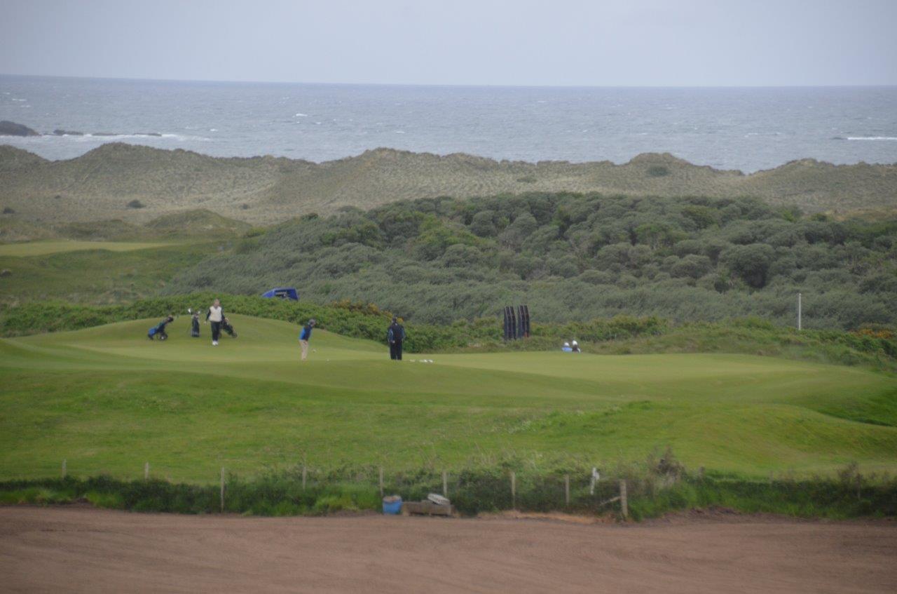
There was also a number of golf courses, this one I believe is the Royal Portrush Golf Club. A very windy and cold day to be out on a golf course but boy were the green and fairways lush and green.
We arrived in Derry and after checking into our hotel we went on a quick tour. This is the grounds of the Ebrington British Army Barracks on the east side of the River Foyle. They were built in 1841 and were used until 2003. They are now owned by the city and are being converted for public use.
During the Troubles they were a key point used by the British.

During WW 2, Derry was a key port used in the Battle of the Atlantic and the Ebrington Barracks were used by the US troops and the British Royal Navy and others fighting the German U-Boats. At the end of the war about 65 U-Boats surrendered in Derry. This memorial was built to remember all of the allied sailors that were lost during the Battle of the Atlantic.

Here is the Guild Hall in Derry. It was built in 1890 and we willl be visiting it tomorrow.

Here is a photo of the pedestrian Peace Bridge that was built across the River Foyle to symbolize the end of the Troubles.

Tomorrow we will tour the Inishowen Peninsula which is the most northern point in Ireland and then tour the city.
I'm afraid none of the video seem to be working. Marie
ReplyDelete